Martha's Vineyard Museum
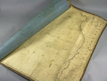
A map that depicts a maritime area and adjacent coastal regions. Also known as a nautical chart, it depicts the nature and shape of the coast, water depth, natural features of the seabed, navigational hazards, information on tides and currents and the location of natural and man-made aids to navigation (lighthouses bell buoys etc.). It is one of the most fundamental tools for mariners.
JavaScript required access all features of this site. Use Browser Back to return.